Cockburn Lighthouse
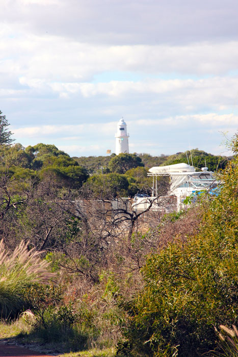
The Cockburn Lighthouse site (ID 121) was first recorded by Sally McGann (on behalf of Quartermaine Consultants) in 1996, during an archaeological investigation for Aboriginal sites at Lake Coogee, Thomsons Lake and Kogolup
Lake for Water Corporation. The archaeological scatter was found on an exposed sandy area next to a dirt track, east of a quarry (McGann, 1996). The site consists of a surface scatter of around 100 pieces of fractured porcelain, within a 32cm x 16cm area. McGann (1996) notes that the scatter “Appears to be an isolated incident”, and that “All artefacts are from the same vessel.” Approximately 14 metres south of the scatter there was also found one flaked insulator (core), with no associated debris. McGann reported in 1996 a minimal level of vehicle disturbance to the site area, which sits on the Cottesloe Sands and had a sparse cover of sand plain flora.
A survey by Clune & Raaff in 1997 attempted but was unable to relocate the Cockburn Lighthouse archaeological site, ‘although an extensive investigation was made in the reported location’ (1997: ii). Their report does, however, emphasise that ‘the site possibly continues to exist’, and recommends that it be taken into account when assessing and conducting any development in the vicinity.